- Each chart designed by expert in a scientific way, printed in natural color, size 70 x 100 cm.
- Printed on paper, laminated in English and Hindi combined.
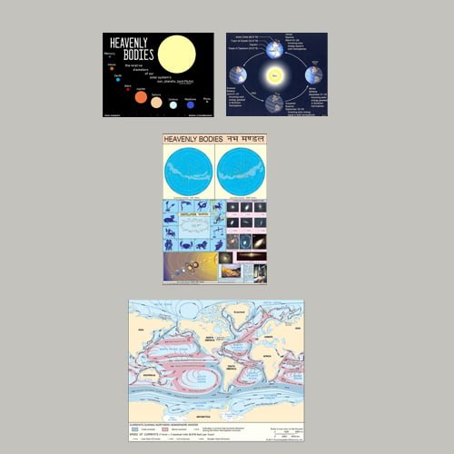
| Part No. | Type | Size (cm) |
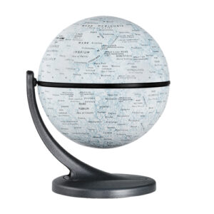
| 9840-A | HEAVENLY BODIES | 70 x 100 |
| 9840-B | SOLAR SYSTEM | 70 x 100 |
| 9840-C | EARTH AND ITS MOTIONS | 70 x 100 |
| 9840-D | STRUCTURE OF THE EARTH | 70 x 100 |
| 9840-E | ROCKS & MINERALS | 70 x 100 |
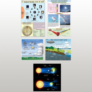
| 9840-F | ATMOSPHERE & SPACE | 70 x 100 |
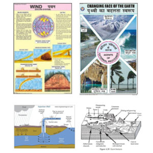
| 9840-G | PRESSURE WINDS | 70 x 100 |
| 9840-H | OCEAN | 70 x 100 |
| 9840-I | STORM AND OCEAN CURRENT | 70 x 100 |
Physical geography charts serve various essential purposes in a concise manner:
- Educational Tool:
- Aid in teaching and learning about landforms, climate, and natural features.
- Landform Identification:
- Assist in identifying and understanding different landforms such as mountains, rivers, and deserts.
- Climate Patterns:
- Visualize climate zones, temperature variations, and precipitation patterns.
- Ecosystem Mapping:
- Illustrate the distribution of ecosystems and biodiversity across regions.
- Natural Hazard Analysis:
- Help analyze and understand the susceptibility of regions to natural hazards like earthquakes, hurricanes, and wildfires.
- Water Bodies and Oceanography:
- Depict oceans, seas, lakes, and rivers, providing insights into ocean currents and marine features.
- Soil Types:
- Display soil classifications and variations, aiding in agricultural planning.
- Resource Distribution:
- Visualize the distribution of natural resources such as minerals, forests, and water sources.
- Urban Planning:
- Support city and regional planning by considering physical geography factors like topography and water availability.
- Environmental Studies:
- Facilitate the study of environmental processes, including erosion, weathering, and sedimentation.
- Cartography and GIS:
- Serve as a base layer for more specialized maps and Geographic Information Systems (GIS) applications.
- Tourism and Recreation:
- Assist travelers in understanding physical features and landscapes when planning trips.