Silent feature:
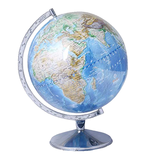
- More than 4000 locations.
- Time dial at north pole.
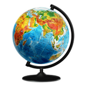
- Unlit position shows physical features.
- Lit position shows political features.
- Black color base, smoked semi-meridian.
- Certified by survey of India.
Its uses include:
- Geopolitical Analysis:
- Visualize political boundaries, countries, and territories on a global scale.
- Physical Geography Reference:
- Illustrate physical features like mountains, rivers, and oceans alongside political divisions.
- International Relations:
- Aid in understanding global political relationships, alliances, and diplomatic interactions.
- Resource Distribution:
- Show the distribution of natural resources in relation to political borders.
- Environmental Context:
- Provide context for political and environmental issues by integrating physical geography.
- Educational Tool:
- Enhance geography education by offering a comprehensive view of both political and physical aspects.
- Global Business Planning:
- Assist businesses in considering both political and physical factors when planning international operations.
- Disaster Management:
- Support disaster response planning by considering both political and physical characteristics.
- Tourism Planning:
- Help in planning global travel by considering political boundaries and physical landscapes.
- Cultural and Historical Context:
- Provide a context for understanding the influence of physical geography on human history and cultures.


