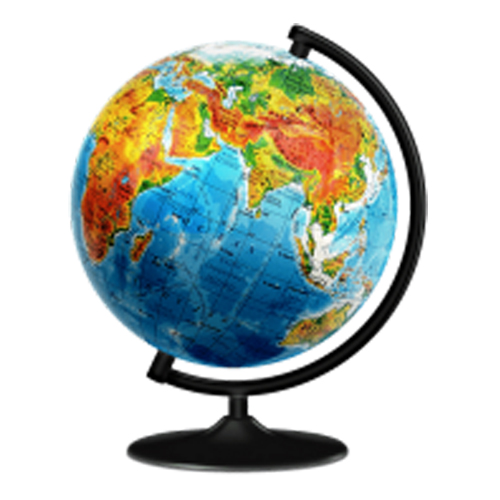
Silent features:
- The globe consists of twenty-four warp threads and nine weft threads, which form a hollow grid sphere.
- The globe is equipped with a fixed vertical warp plane plate.
- It is also provided with a rotary warp plane plate and a latitude pointer at the top with adjustment knob.
- The sphere has a diameter of 30cm and is mounted on a bracket that is at an angle of 66degree 30’ to the plane of the base.
A globe showing longitude and latitude serves several purposes in short form:
- Geographical Reference:
- Provides a quick reference for locating places on Earth using coordinates.
- Navigation Aid:
- Assists in navigation by displaying the grid of longitude and latitude for precise location determination.
- Educational Tool:
- Enhances geography education by visually illustrating the Earth’s coordinates.
- Cartographic Standard:
- Serves as a standard tool for cartographers to create accurate maps and charts.
- Global Positioning System (GPS):
- Supports GPS technology by visually representing the coordinates used for location-based services.
- Emergency Response:
- Aids emergency responders in quickly locating and reaching specific geographic coordinates.
- International Time Zones:
- Facilitates understanding of time zones by depicting the longitudinal divisions on Earth.
- Astronomical Observations:
- Assists astronomers in locating celestial objects by providing Earth coordinates.
- Field Research:
- Supports researchers and scientists in the field by aiding in precise location identification.
- GIS (Geographic Information System):
- Serves as a foundational tool for GIS applications, enabling spatial analysis and mapping.